Commercial
Construction
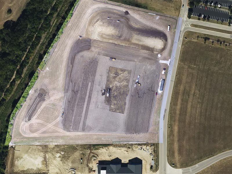
Our services include automated 3D site modeling, real-time progress tracking, safety and risk assessment, environmental impact monitoring, and drone-based quality control inspections. With cutting-edge technologies and a breadth of experience, we ensure every aspect of your project is managed efficiently and safely.
Partner with us to stay ahead of schedule, within budget, and with the highest safety standards. Contact us today to learn more.


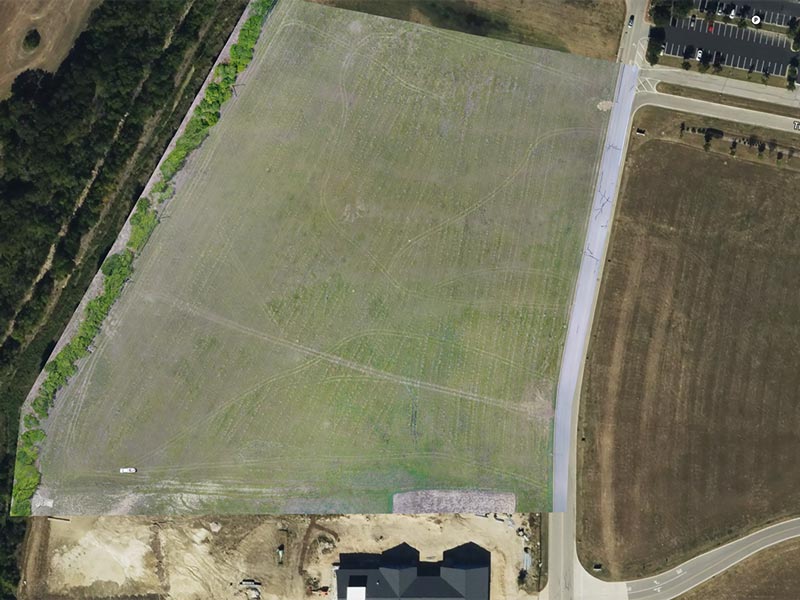
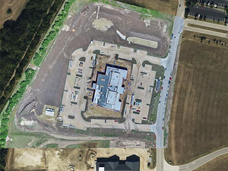
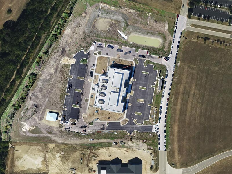
3D Site Surveying and Mapping
Our drones create orthomosaic maps and high-fidelity 3D models with centimeter-level RTK/PPK accuracy for project planning. High-resolution imagery ensures every detail is captured for efficient site management. Your planning, progress tracking, and visualization, is enhanced by advanced precision.
Accurate Maps for Smarter Construction
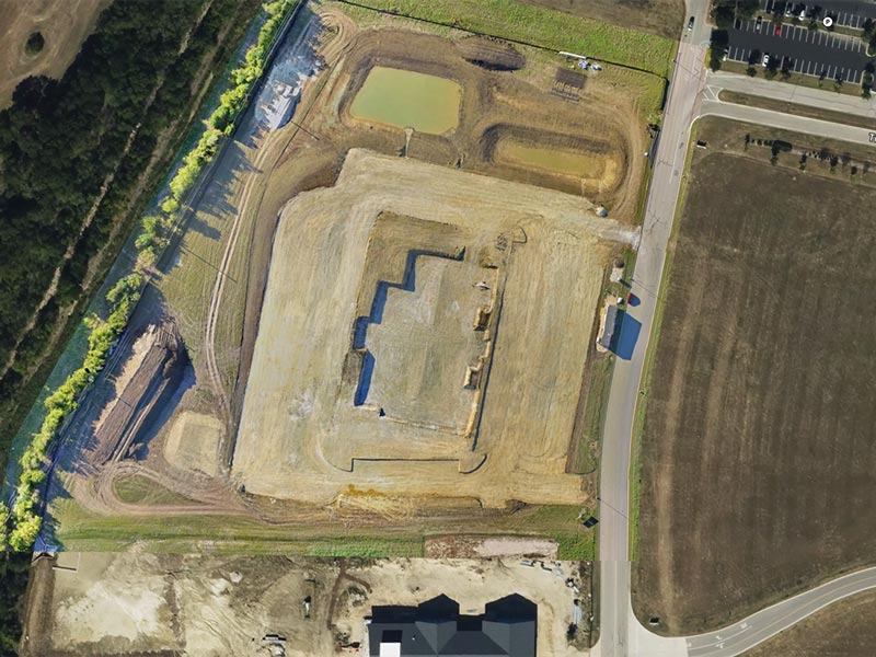

Safe, Detailed Structural Assessments
We inspect pours, structures, buildings and bridges with high-resolution and thermal imaging, identifying potential issues, like 0.1 mm cracks in hard to reach places. Autonomous obstacle avoidance ensures thorough, safe evaluations without scaffolding.
Build with Confidence


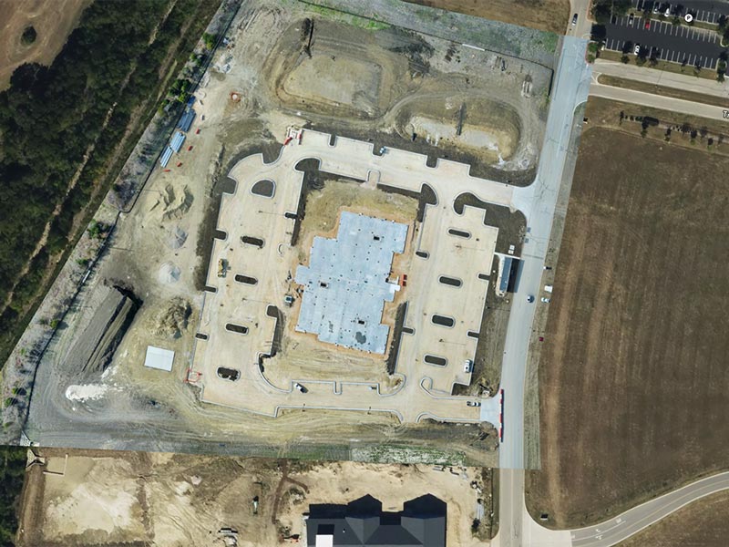
Comprehensive Records for Project Compliance
When your project is complete, we create extremely detailed 3D models and point clouds to enabled detailed documentation with precision. High-resolution interactive visuals ensure accurate as-built records for future reference and documented compliance.
Document with Detail