Protecting Nature with Cutting-Edge Aerial Data

Elevated Insights for
Conservation

We deliver thermal and visual data for wildlife surveys, habitat mapping, and water quality assessments, supporting sustainable environmental management.

Environmental Monitoring & Conservation

Protect the environment with aerial data that supports wildlife surveys, habitat mapping, and water quality monitoring. We use thermal and visual imaging to deliver insights for sustainable conservation, preserving nature effectively.

Safeguard your conservation efforts. Discover our conservation solutions today!
Wildlife Aerial Assessment

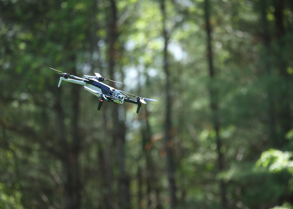
Our drones use thermal and visual imaging to count and track wildlife, minimizing disturbance. Advanced thermal optics paired with NightSense, enables nocturnal surveys, providing accurate data for conservation efforts.

Track Wildlife with Care

Detailed Maps for Environmental Protection

We create orthomosaic maps and 3D models of habitats using RTK/PPK-enabled drones. High-resolution imagery supports conservation planning and habitat management.

Map Nature with Precision

Stop Invasive Species in Their Tracks

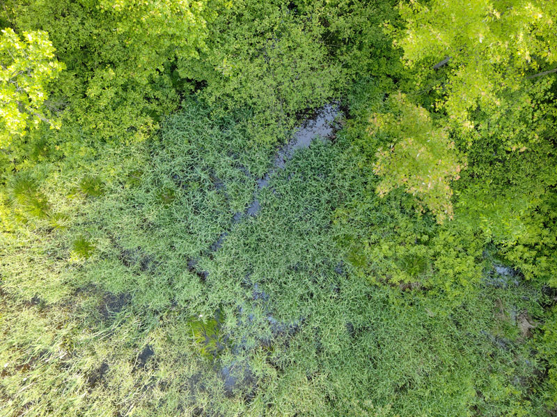
We can capture high-resolution, photorealistic maps and images to detect invasive plants or animals, aiding control efforts. Autonomous flights cover large areas efficiently, protecting ecosystems.

Identify Threats with Aerial Imaging

Water Quality Monitoring with Drone Technology

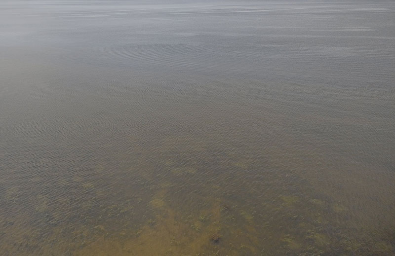
We use RGB and thermal imaging to detect pollutants or temperature variations in water bodies, supporting environmental health. Detailed reports provide actionable insights for water management.

Protect Our Waterways

Monitor Forests with Aerial Insights

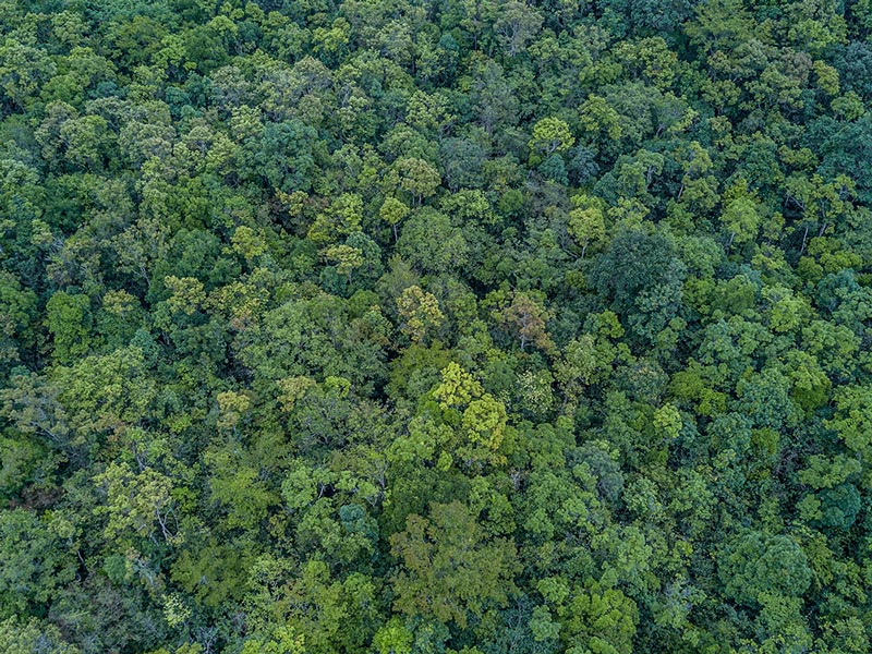
Our drones assess forest health using thermal and high-resolution visual imaging, detecting stress or disease. Autonomous flights deliver comprehensive data for sustainable forest management.

Keep Forests Thriving

Want to learn more?

Protecting Nature with Cutting-Edge Aerial Data