Protecting Communities with Eyes in the Sky

Strengthen Public Safety

Discover precision solutions for search and rescue night operations, real-time incident monitoring, fire perimeter mapping, traffic accident reconstruction, and tactical support for law enforcement.

Public Safety

When every second counts, Our drones, equipped with advanced thermal sensors, provide 24/7 support for your missions. Our military background ensures that our operations are precise and effective, giving you the edge in critical situations.

Enhance your response capabilities and community protection. Partner with us to take public safety operations to new heights!
Search and Rescue Precision

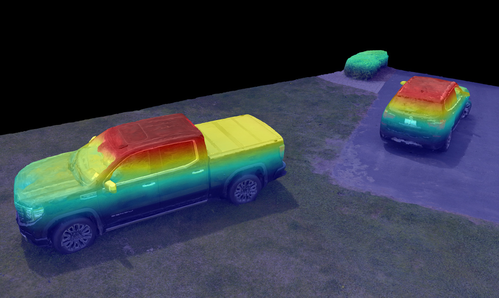
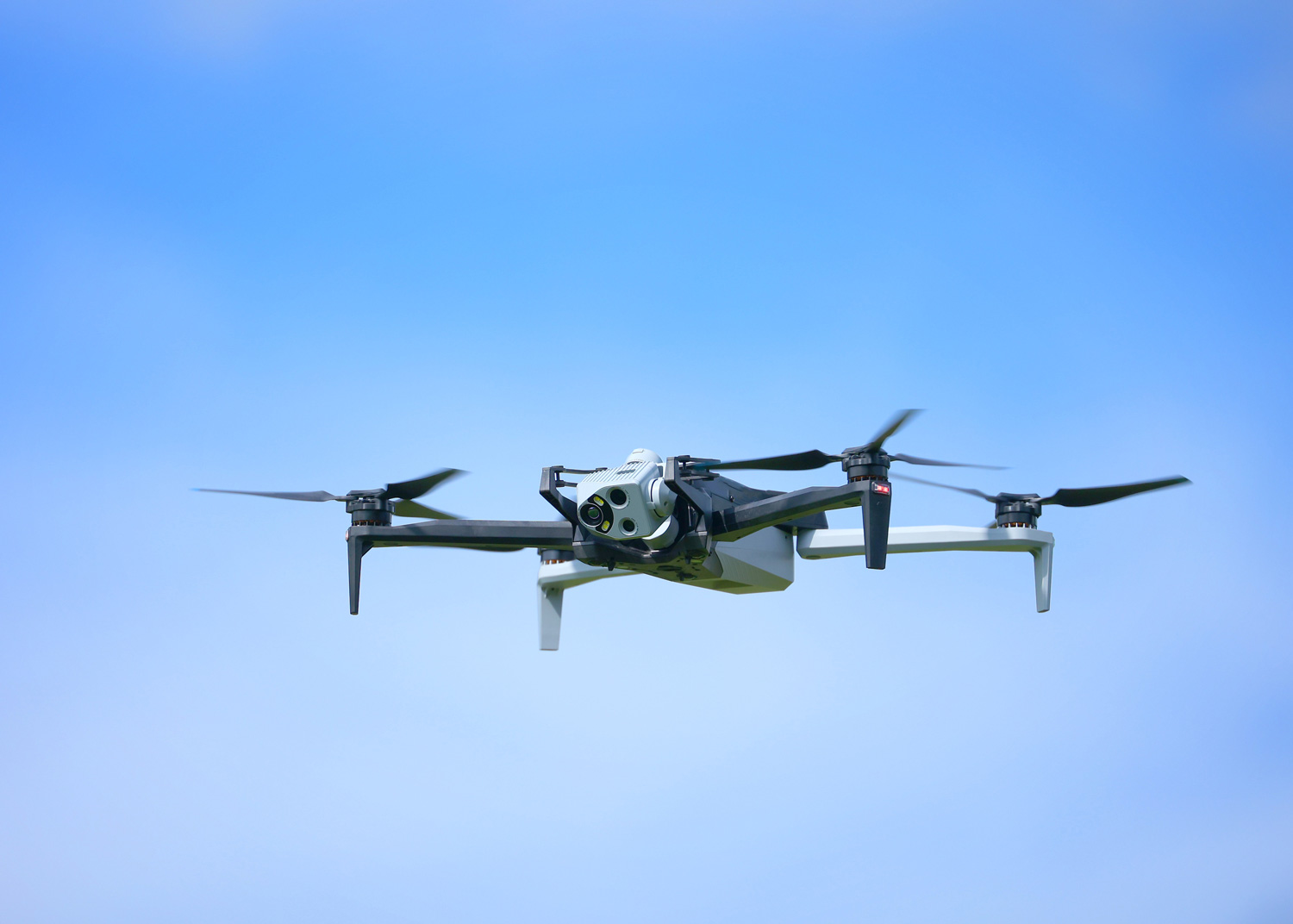
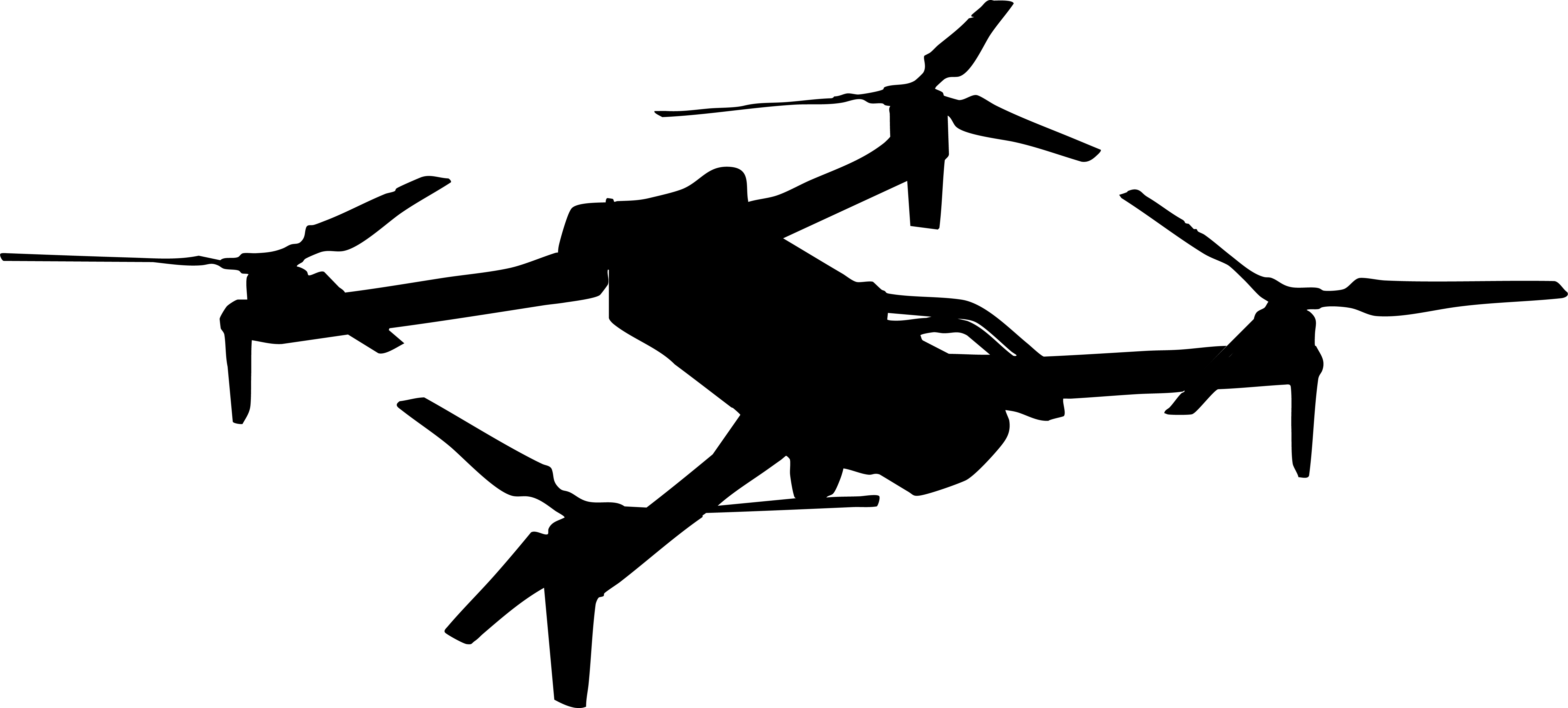
Our Skydio X10 drones use advanced high-resolution visual and thermal optics to locate missing persons in challenging terrains, day or night. Autonomous navigation ensures rapid, efficient, & safe searches, saving critical time when it matters most.

Safe, Life-Saving Drone Solutions

Rapid Aerial Surveys for Disaster Response

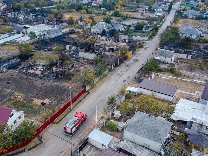
We create incredibly detailed maps detailed 3D models of disaster zones using precise RTK/PPK technology. Our high-resolution imagery supports efficient recovery planning and execution for agencies.

Assess Damage, Plan Recovery

Firefighting Support from Above

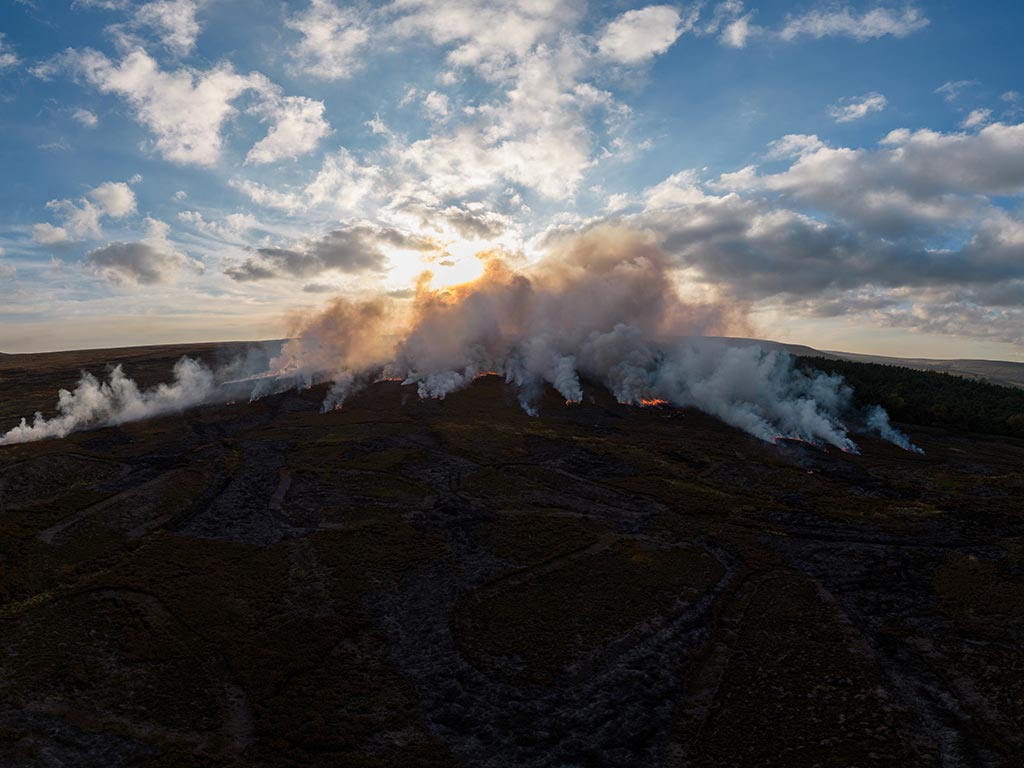
We provide live thermal maps and aerial views to guide firefighting efforts, identifying hotspots instantly. The Skydio X10’s night flight capabilities ensure 24/7 support in any condition.

Real-Time Insights for Firefighting

Forensic Precision with Advanced Autonomy

We produce high-resolution photos and amazingly detailed 3D models for accurate crime scene documentation. Precise measurements and US-manufactured security ensure trusted results.

Capture Every Detail

Secure Operations with Aerial Surveillance

Our drones deliver high-resolution footage and live streams for crowd monitoring and tactical operations. Autonomous flight managed by tactical professionals ensures safe, discreet surveillance in urban or rural settings.

Enhancing Security from the Air

Want to learn more?

Precision Aerial Support for Critical Missions