Real Estate & Development
Showcase properties in your market with aerial videos and photos that attract buyers and investors instantly. We deliver high-resolution visuals highly detailed 3D models, and precise maps, to make your project stand out with stunning perspectives.
Elevate your project – discover more today!

Aerial Videos That Impress Buyers
We create engaging video tours with aerial shots, highlighting property features and landscapes. High-resolution footage and autonomous flight ensure stunning, consistent results. Autonomous flight capabilities like orbit and 3D scanning deliver consistent, professional images that attract buyers.
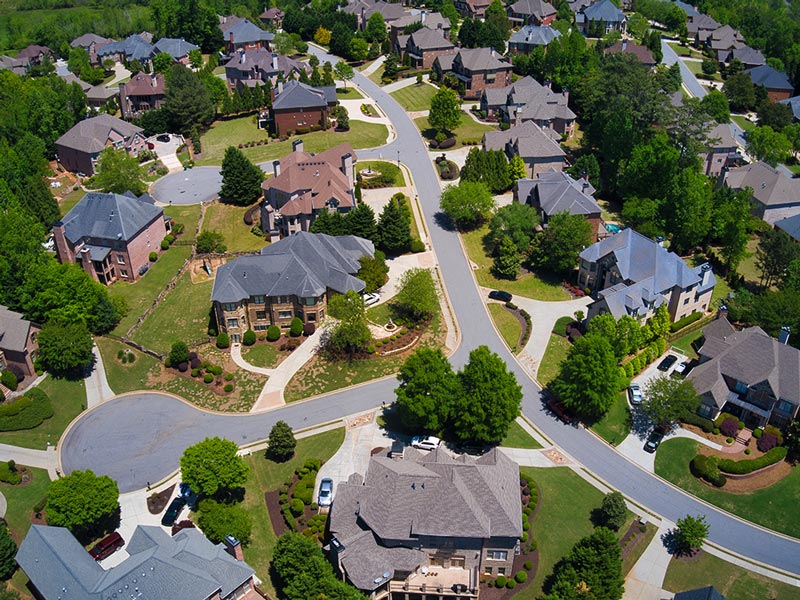
High-Quality Photos That Sell
Track Construction Progress Seamlessly
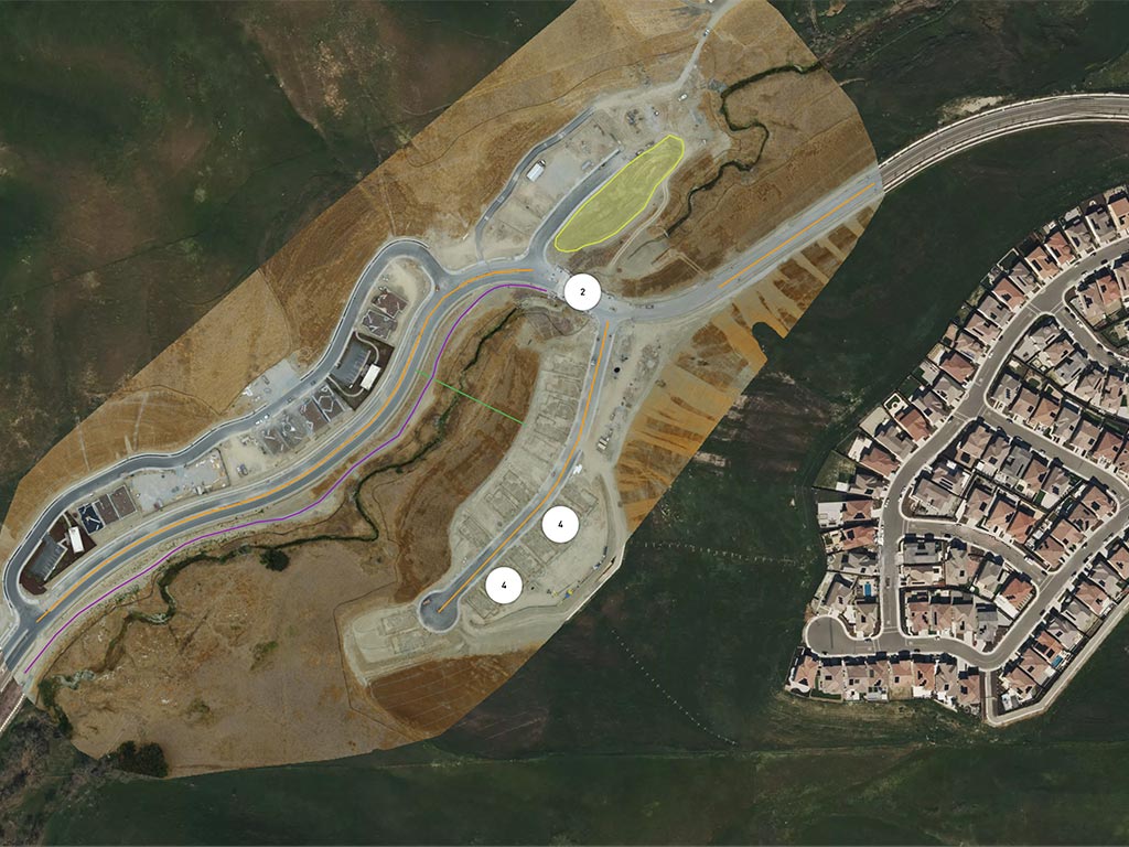
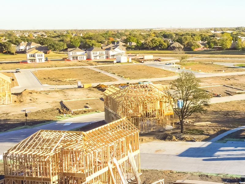
Monitor your construction projects with unparalleled precision using our drone services, delivering detailed aerial imagery and 3D models to keep you informed at every stage. The Skydio X10’s autonomous flights and high-resolution visuals ensure you stay on schedule and within budget, empowering smarter project decisions.
Insights from Above for Project Success


