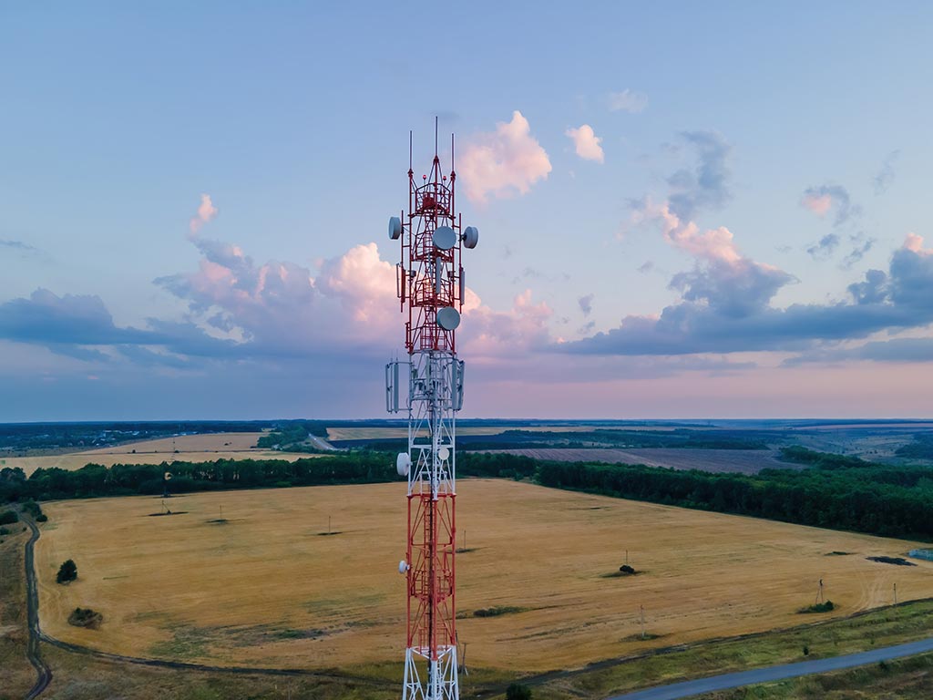
Telecom
Optimize your telecommunications networks with state-of-the-art drone inspections and precise mapping solutions. Our thermal imaging and autonomous flight capabilities deliver detailed data to maintain and expand connectivity efficiently.
Contact us to see how our services can transform your connectivity solutions.
Elevating Cell Tower Safety
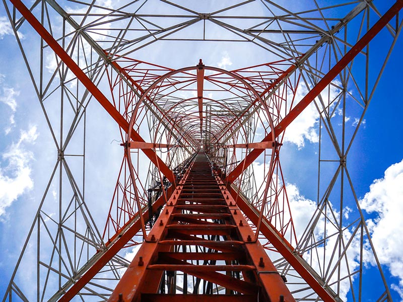
Bypass the dangers of manual tower climbs with our drone inspections, which provide detailed visual and thermal scans to ensure structural integrity. The Skydio X10’s high-resolution imaging quickly identifies issues, keeping your network dependable and robust.
Schedule a drone inspection to ensure your cell towers perform at their best.
Risk-Free Inspections for Peak Performance
Proactive Antenna Maintenance for Uninterrupted Service
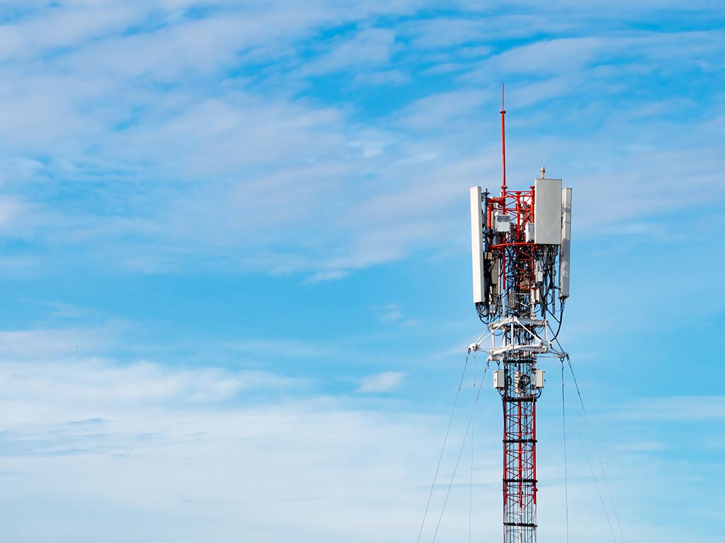
Protect your network’s performance with our drone inspections, using thermal and high-resolution imaging to uncover antenna faults before they cause outages. Autonomous flights deliver thorough assessments without downtime, ensuring consistent connectivity.
Find out how our antenna inspections can safeguard your network’s reliability.
Optimizing Antennas with Drone Insights
Restoring Connectivity with Speed
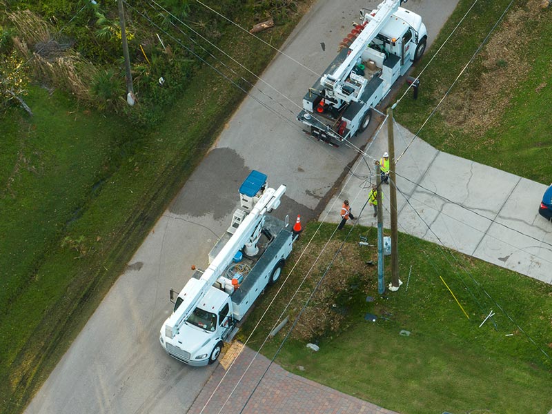
Recover quickly after disasters with our drone inspections, providing real-time damage assessments with thermal and visual data. The Skydio X10’s rapid deployment ensures swift evaluations, helping you restore vital connectivity when it’s needed most.
Discover how our emergency inspections can aid your disaster recovery.
Fast Recovery Through Drone Assessments
Clear Lines with Aerial Monitoring
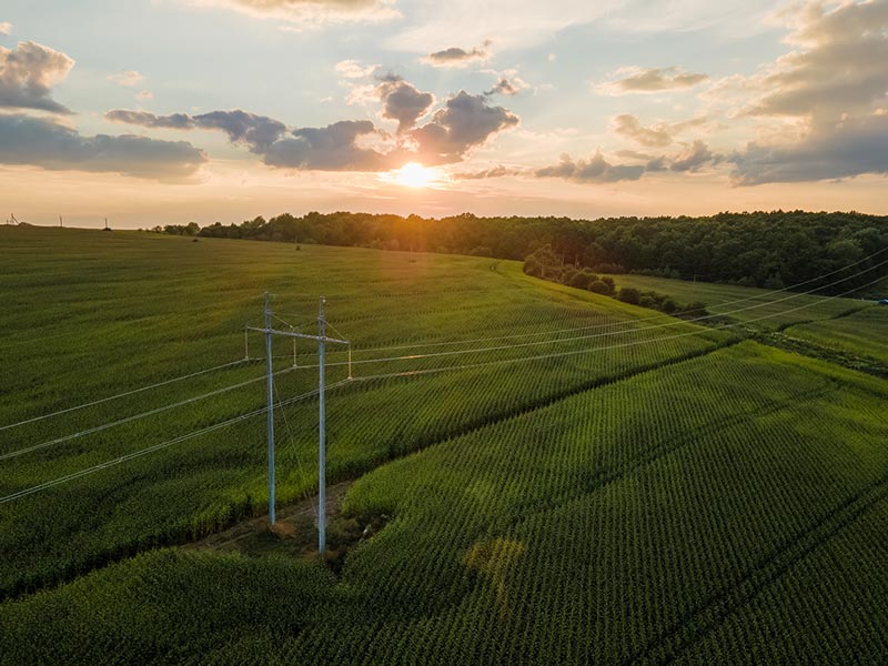
Prevent service disruptions with our drone-based vegetation monitoring, spotting overgrowth that threatens telecom infrastructure. Regular aerial insights enable proactive maintenance, ensuring your network lines stay clear and operational.
Learn how vegetation management can protect your network assets.
Shielding Your Network from Overgrowth
Seamless Expansion Through Aerial Mapping
Plan your telecom network with confidence using our drone-generated orthomosaic maps and 3D models, crafted for precision expansion. The Skydio X10’s RTK/PPK technology offers unmatched accuracy, helping you achieve optimal coverage and connectivity.
Contact us to plan your network with cutting-edge drone technology.
Designing Networks with Drone Accuracy

